Are you new round these parts – A beginners guide to orienteering
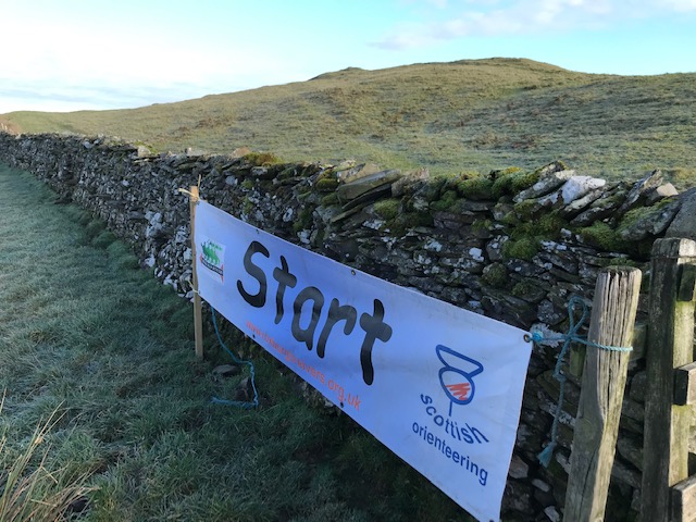
What exactly is involved ? The aim is to navigate across terrain (which can be woodland, parkland, urban streets) using only the supplied map to find a series of marked points. At these points you’ll find an orange and white marker plus an electronic box to register that you’ve visited it. You receive your marked map at the Start line.
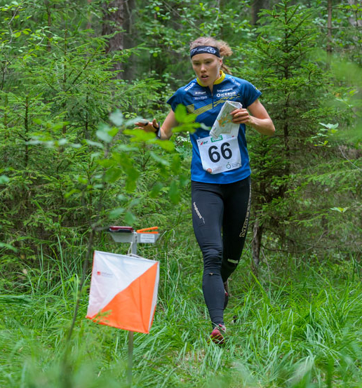
Are there age limits ? In short NO. Courses are graded into colours with White being short and very easy, all the way to Black which is long and difficult. You can choose your own level or for more serious competitions you do the level allocated to your age class.
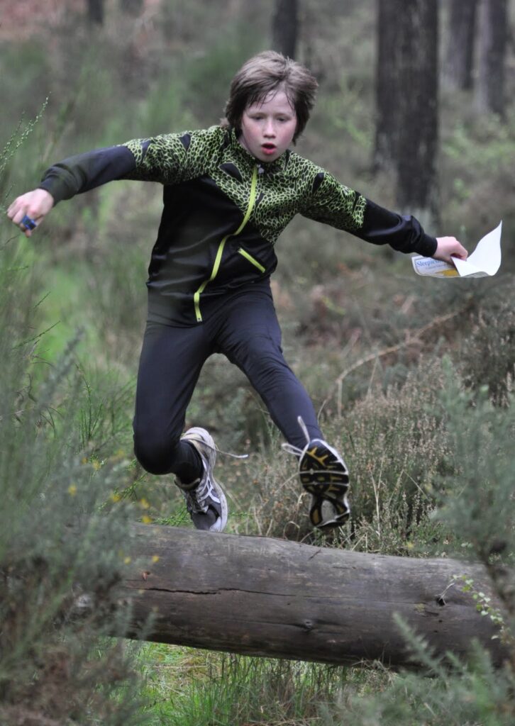
You need to be a runner don’t you ? Absolutely not, many people just enjoy the challenge of getting out in the fresh air and finding the controls.
Will I be out for hours and need to take a packed lunch ? Leave your packed lunch in the car for after your walk/run – the average time taken is under an hour.

Do I need to buy expensive equipment ? A pair of trail shoes or similar with a bit of grip, some running or walking gear, and a compass is all you need to get started. Clubs often provide a compass for newcomers if they need one.
What are typical entry fees ? Local events usually cost £4.50 for adults, £2.50 for juniors. The cheapest membership option is a combined club and Scottish Orienteering one costing £11 for adults, £2.50 for juniors and this gives you 50p off each club event entry. Bigger events cost slightly more.
Maps confuse me ! Maps have a legend on them and it’s important to learn what each colour and symbol means.
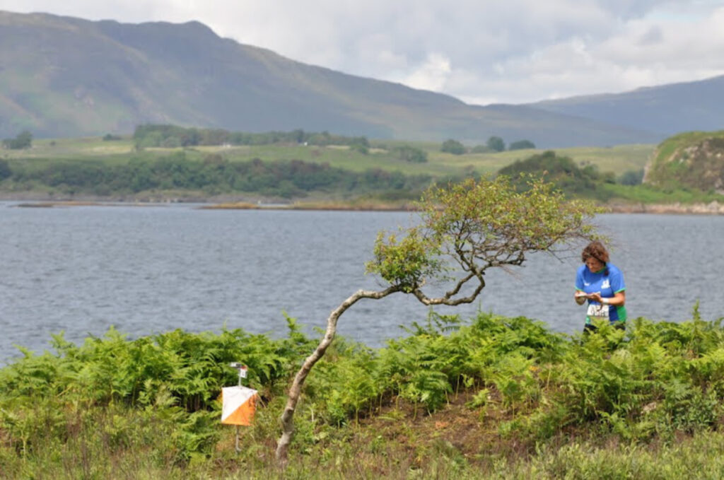
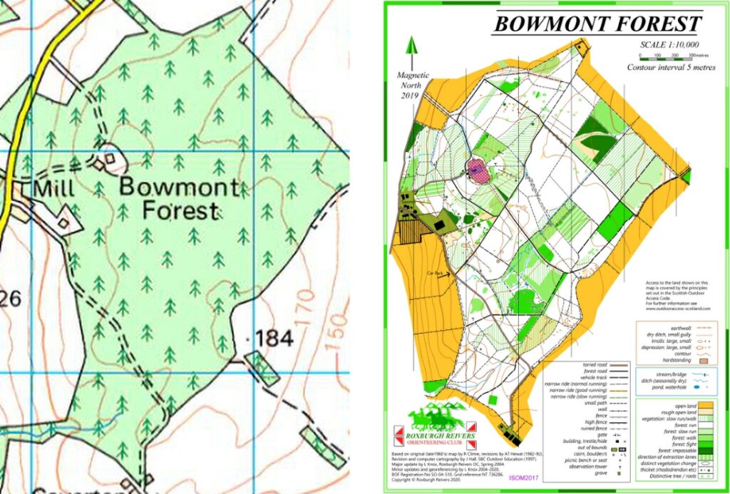
I’m used to Ordnance Survey maps, are orienteering maps the same ? It’ll help that you know a bit about maps already but there are 2 big differences. Firstly the scale of the map will be more blown up, so forests mapped at 1:10,000 ( rather than the OS 1:50,000). This means every 1cm on the map equals 100m on the ground. Urban areas and parks etc are normally even more blown up at 1:4,000 or 1:5,000. Secondly, runnable woodland is shown as white on orienteering maps, green on OS maps. Shades of green on orienteering maps mean thicker woodland, the darker the green the thicker it is. Magnetic North is almost always at the top of the map, similar to OS where True North is at the top, but Magentic and True Norths are similar at the moment. The next 2 maps show the difference. Left is Ordnance Survey 1:50,000, Right is orienteering map 1:10,000 scale.
Urban maps have a slightly different look to them due to the amount of private out-of-bounds areas, shown in a dark olive green colour. Plus, of course, houses (dark grey), roads and paths (brown).

How does the timing work ? You’ll get a timing chip which you use at the Start, each control, and the Finish. This gives you an overall time plus all the split times. Results of our local events are published live during the day and then put onto the club website.
Are there any helpful online resources ? British Orienteering have an excellent webpage for newcomers with tips and videos. https://www.britishorienteering.org.uk/newcomers_guide
Any other places that I can try orienteering ? There are a few permanent courses locally but a cooler way to try orienteering is via the MapRun app on your smartphone, see the club website for this: http://roxburghreivers.org.uk/permanent-courses/
If you need more information just email admin “AT” roxburghreivers.org.uk
